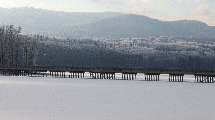
Burns Lake has already experienced a couple of cold snaps so far this season, but that won't be the trend for the rest of the winter season, said Dayna Vettese, meteorologist for The Weather Network.
The Lakes District area can expect temperatures above average leading up to Christmas. December, January and February will average highs of -1 C to -2 C for the area.
One factor that will make temperatures higher than normal is El Nino, the warming of Pacific sea-surface temperatures. However, El Nino could also result in more precipitation.
Although it's too soon to predict how much precipitation the area will receive during the holidays, Doug Lundquist, meteorologist for Environment Canada, said that over the last 30 years the average precipitation Burns Lake has experienced in December is 14 days of rain and snow, adding up to 48 cm of snow and 6 mm of rain. Out of those 14 days, only two have snowfall amounts of over five centimetres.
From Dec. 15, 2013 to Jan. 1, 2014, Burns Lake had 35 mm or precipitation.
The Southern interior region of the province should experience a drier winter, which could be a struggle for ski resorts in the area.
Other parts of the country such as Manitoba, Ontario and Quebec are expected to have a cooler than normal season, but "still not as bad as last winter," said Vetesse.