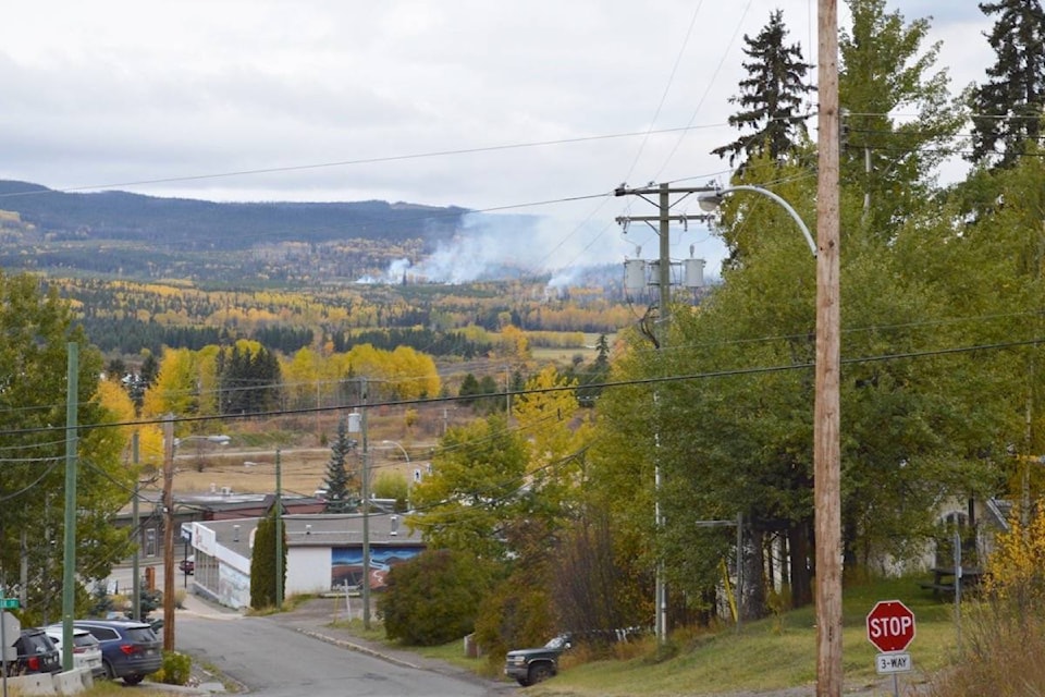
Burns Lake residents have recently noticed smoke in areas close to Burns Lake.
According to Olivia Pojar, fire information officer for the Northwest Fire Centre, lately there have been multiple registered category three open burns in the Burns Lake area.
A map of registered open burns can be found online.
The B.C. Wildfire Service has also been burning slash piles in several areas within the Nadina Fire Zone to help prepare the sites for reforestation in the spring of 2018. Burning began on Oct. 10, 2017, and will continue periodically in the fall until the work is completed.
The areas where pile burning has been taking place include:
- Around the Heading Creek Forest Service Road, about 12 km east of Houston;
- Around Maxan Lake, about 23 km northwest of Burns Lake;
- Around the Bomberger Forest Service Road, about eight km west of Endako.
Smoke from these controlled burns may be visible from Hwy. 16 and from the communities of Burns Lake, Decker Lake, Topley, Houston, Rose Lake and Endako.
According to the B.C. Wildfire Service, these burn projects are removing accumulations of flammable material and reducing the risk of aggressive wildfires in these areas in future. Trained crews and firefighting equipment are on site to monitor and control these burns.
“Burning is only being done when weather conditions are favourable for quick smoke dissipation,” explained Pojar. “Wind speed, direction, venting and burning conditions are all considered prior to ignition to minimize the amount of smoke generated.”
@flavio_nienow
newsroom@ldnews.net
Like us on Facebook and follow us on Twitter.