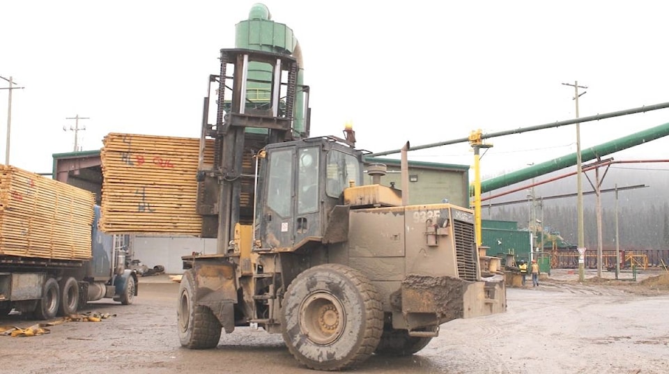
With wildfires still raging across the Lakes District, many are concerned about the impact they’ll have on the timber that supply the local mills.
According to the provincial government, however, it’s still too soon to assess the damage.
As of Aug. 26, 134,523 hectares of the Lakes timber supply area (TSA) fall within the perimeters of 2018 wildfires. Of this total area, 42,040 hectares was classified as timber harvesting land base.
“The amount of timber volume impacted within these areas cannot be accurately determined until the fire damage is mapped and assessed,” explained the ministry in a statement. “It is too early to determine the potential impacts caused by the current wildfire season.”
The timber volume loss due to wildfires is estimated annually by the ministry, and accurate damage assessments for the Lakes TSA will be revised once the current wildfire season is over.
According to Steve Zika, Chief Executive Officer of Hampton Lumber – company that owns Babine and Decker Lake Forest Products, this year’s wildfires will “definitely have a negative effect” on lumber availability in the Lakes District. But he agrees that it is too early to make any estimates on the actual effect.
“We, like everyone else are just praying for rain,” he told Lakes District News.
According to John Rustad, MLA for Nechako Lakes, any wildfires have the potential to impact short and medium term timber supply. However, Rustad says the real danger at the moment is life and property.
“This fall, once we get through these fires, we can worry about the issues of timber supply,” said Rustad. “I am very concerned about the ramifications, but the next few days are critical for the folks south of Francois Lake and for the efforts to fight the fires.”
This summer is now considered the worst wildfire season in history, as the number of hectares burned across the province has exceeded 2017’s total. According to B.C. Wildfire Service, 1,298,454 hectares have burned as of Aug. 29, overtaking last year’s total of 1,216,053 hectares.
READ MORE: B.C. wildfire season now second worst in province’s history
As of Friday, the Shovel Lake Fire, burning approximately six km north of Fraser Lake, had consumed 92,255 hectares and was 40 per cent contained. Although still active internally, this fire was primarily within containment lines.
The Nadina Lake Fire, burning approximately 40 km southwest of Burns Lake, was estimated at 85,428 hectares.
The Verdun Mountain Fire, located approximately nine km southwest of Grassy Plains, had burned 34,586 hectares, and the Island Lake Fire, located just south of Francois Lake, had consumed 20,468 hectares.
The Torkelsen Lake Fire, located approximately 20 km south of Fort Babine, was estimated at 2,082 hectares, and the Gilmore Lake Fire, burning eight km southwest of Topley, was 100 per cent contained.
The Regional District of Bulkley-Nechako partially rescinded evacuation orders for the Shovel Lake, Island Lake and Nadina Lake fires over the past week. To check out the complete list of evacuation orders and alerts, visit https://www.rdbn.bc.ca.