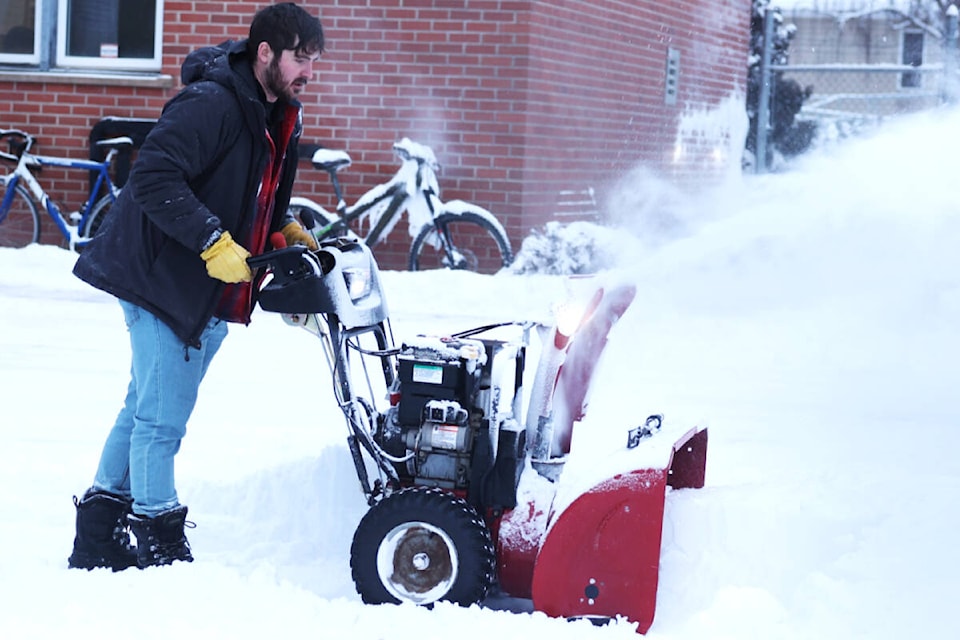
A snowstorm has hit Burns Lake, British Columbia, on Jan. 15, amidst a severe drought in the region.
Environment and Climate Change Canada’s weather application predictEd a heavy snowfall in several areas, including Lakes District, Bulkley Valley, Williston, Pine Pass, McGregor and Dease Lake region.
Yimei Li, Environment and Climate Change Canada’s meteorologist, explained that a cold Arctic front from Yukon will move into Northern British Columbia, causing significant changes in the weather.
The snowfall was 10 to 15 centimetres, with temperatures dropping to -19 degrees Celsius and wind chill values making it feel like -23 degrees Celsius.
On Tuesday morning, there is a 60 per cent chance of flurries, with temperatures remaining around -16 degrees Celsius and wind chill values around -24 degrees Celsius.
A cold Arctic front forms when a cold air pushes into a warmer air. It can produce dramatic changes in the weather.
AccuWeather reports that other areas in northern British Columbia, including Stuart - Nechako, Prince George, Cariboo - north including Quesnel, Yellowhead, and Yellowhead Highway - Tête Jaune Cache to the Alberta Border, will also be affected by the snowstorm.
Li said the heavy snowstorm will begin in the evening of Jan. 15 and is expected to slow down by Tuesday morning, with the storm ending by noon.
Environment and Climate Change Canada has warned of poor visibility and has requested all drivers to adjust their speed while on the road.