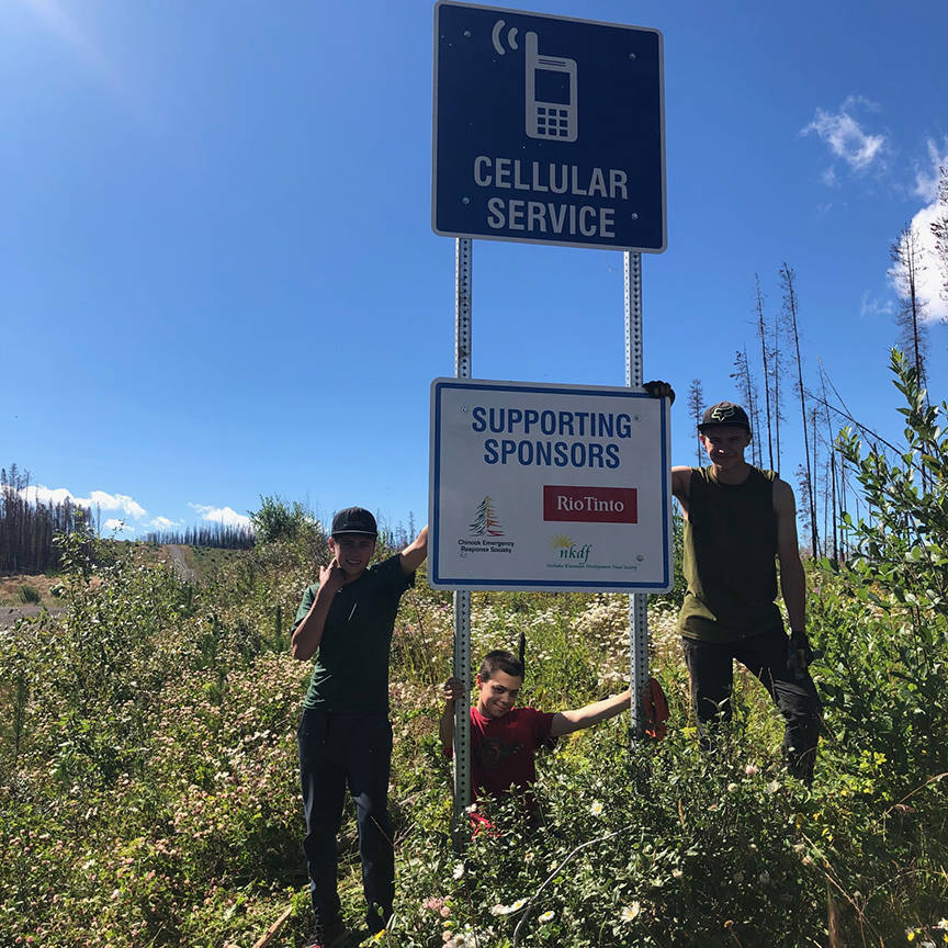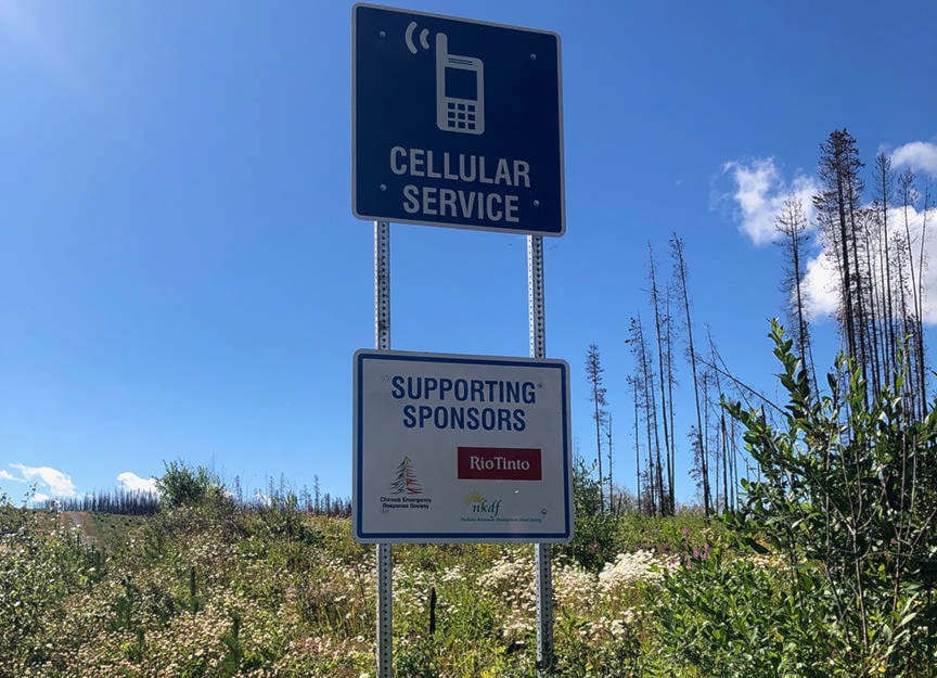
The Chinook Emergency Response Society (CERS) led cell service signage project for the spotty coverage on the Southside has now completed with fresh signs posted in several places.
The project, that was started last year September, was aimed to address the communication gaps on the Southside, that very felt particularly during the 2018 wildfires. The project, which was a shared vision between the Chinook Emergency Response Society and Rio Tinto, was launched with funding from the Nechako-Kitamaat Development Fund (NKDF) and Rio Tinto, to install signs identifying where cellular phone service is available in remote areas.
“After the 2018 wildfires, the community in and around Francois lake - the southside and northside of the lake, were the ones mainly impacted by the fires and one of the main concerns that came out of the meetings after that was the lack of cell service. I know the regional district is working on getting more cell towers and cell service throughout the area but in the meantime, the community thought it would be a good idea to put up signs informing people where there is cell service and it is mainly for emergency responders that go into the area or firefighters or people who don’t know the area really well,” said Scott Zayac, the spokesperson for the CERS.
Zayac also said that the project includes putting in a map along with the signage. Users can download the interactive google map and use it offline to find cellular service or signs for cellular service. As per the map, cell service signs are present at Northside ferry terminal, Southside ferry terminal, Grassy Plains, Chicken Creek FSR, Braun FSR, Km. 39 on the Ootsa Nadina Rd., Windy Point Pullout and Km. 15 Binta South. Maps for cellular service of the area can be found at two places - Skins Lake Spillway Campground and Francoise Lake Forester.
“There is a map and there is some signage that would help people to show where they could get cell service in an emergency. So that’s the intention behind the signs. We are hoping in the years to come that we will have more cell towers and we can take the signs down because there is adequate cell service in the region,” said Zayac.
The Chairperson for CERS, Risé Johansen, agreed with this and said that although the goal was to ultimately get cell service for everyone, until that happens this project will prove to be a stepping stone towards that stage.
“We, as rural residents, feel that we are just as “deserving” of cell service as anyone in a major municipality and feel strongly that the 2018 Wildfires certainly proved that point and continue to work towards that end goal,” said Johansen.
In the meantime, the maps created can be carried on your person, you may take a picture of it so you have it on your phone or you can just follow the signage to keep you aware of how far away or how close you are to a cell service area.
“The CERS is here to help our community be prepared as well for people who don’t live here, who are tourists, industry workers, emergency personnel for an event such as that wildfire was. So this project is just as a reminder, we all need to stay prepared in many ways; this is just one of the ways,” said Johansen.
Priyanka Ketkar
Multimedia journalist
@PriyankaKetkar
priyanka.ketkar@ldnews.net
Like us on Facebook and follows us on Twitter.