With its recent round of public consultations over, Chinook Community Forest is looking ahead to the next stage of forming its fire mitigation plan.
The organization held community meetings in the Grassy Plains Hall on Feb. 9, Francois Lake Hall on March 2, Lakeview Mall on March 16 and in the Rose Lake Hall on March 28.
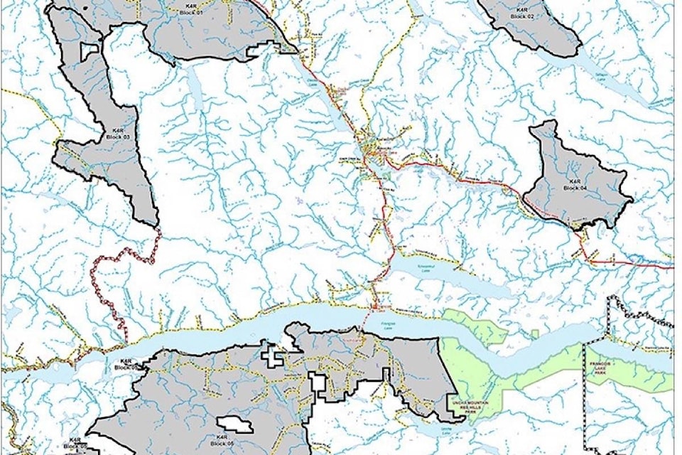
LOOK BACK: Clean up the fuel, say Chinook meeting members
Both the Lakeview Mall and Rose Lake meetings were well-attended, and over 130 people in total showed up, Ken Nielsen, manager of the Chinook Community Forest told Lakes District News.
A key issue raised at all four meetings was fuel on the ground and the wildfire risks it poses.
“People are concerned with the amount of fuel loading that is on the ground. Those who are working in forestry know, and those not in the forestry industry were surprised at the level of fuel loading,” Nielsen explained.
Using the feedback from the community, Chinook Comfor’s fire mitigation plan will be formulated in conjunction with the BC Wildfire Service branch in Smithers, starting in June.
It will be based on the 5-kilometre buffer zones surrounding several local communities such as those around Rose Lake, Grassy Plains, Ootsa Lake and a few near Babine Lake.
Inside those zones the service can support Chinook Comfor with funding and some relaxations of restrictions.
The plan will also incorporate data from a two-year Lidar (Light Detection and Ranging) mapping project that ends in April.
Lidars use light from pulsed lasers to measure distances and create detailed, three dimensional models of landscapes.
“Is there 200 cubic metres per hectare? How much blowdown is laying on the ground? The height of the trees. [Lidar mapping] distinguishes species as well. It can tell the difference between spruce, pine, larch,” Nielsen said.
“Lidar data will be used for identifying streams, creeks, laying out cutblocks, environmental concerns. It will be an awesome tool moving forward.”
The Lidar project cost about $500,000 and was contracted out to Tesera Systems in Calgary.
“I’ll use that mapping system along with the Provincial Strategic [Wildfire] Threat Analysis. Myself, a forester and I’ll probably hire an expert on fire. The three of us will sit down and start analyzing and come up with some sort of a plan. Then we’ll hold community meetings again and people can comment on the plan.”
The next meetings are due to be held in May.
Blair McBride
Multimedia reporter
Send Blair an email
Like Lakes District News on Facebook