The Burns Lake Community Forest (BLCF)’s use of drone technology has significantly enhanced its ability to map out and see what’s in the forests.
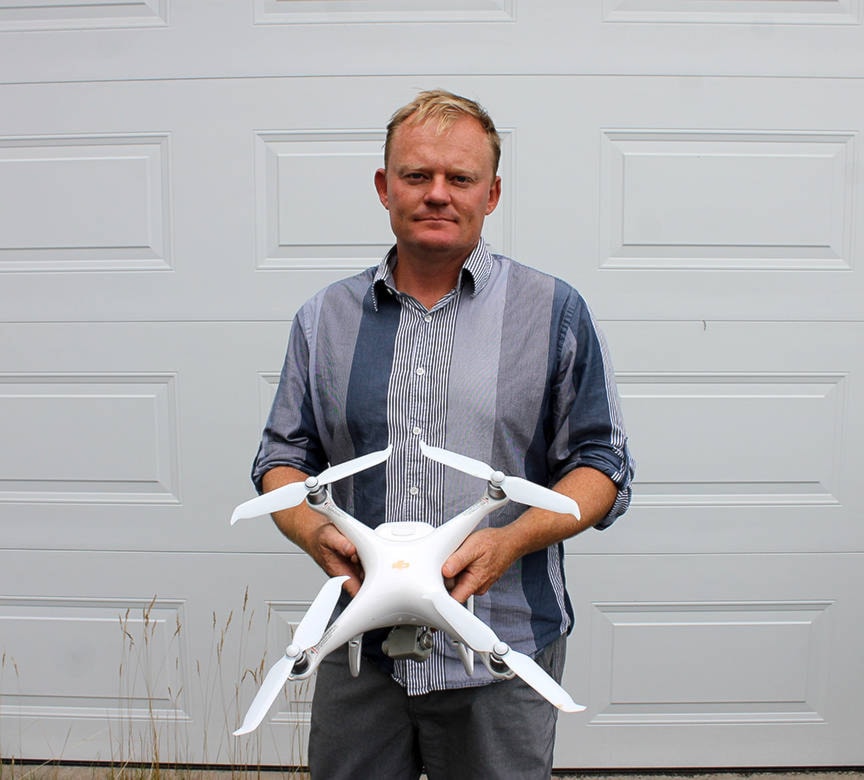
The community forest has been using its DJI Phantom 4 drone, which costs about $3,500 retail since 2014 for assessments after harvesting, as Frank Varga, BLCF General Manager told Lakes District News.
“We will do an assessment post-harvest to see road location, built vs proposed, site deg, wildfire tree retention area [to look for] blowdown, composition, number of burn piles, etc,” he said.
The low-flying unit is also used for determining site plan values and auditing harvest operations and landscapes.
All of its benefits were brought together when the BLCF mapped out Boer Mountain as part of the Kager Recreation Area Polygon project aimed at the interests of mountain bikers.
READ MORE: Managing forests with mountain bikers in mind
“Boer mountain was the first time Burns Lake Community Forest used the drone for full phase operational works, from pre-planning and block delineation to post-harvest assessment.”
The faster viewing capabilities of drones are a major time saver, as Varga explained.
“This technology can effectively [scope out] an area 10 hectares in size and provide concrete data sets for assessment or more detailed field review in 10-15 minutes. It pays for itself very quickly. With the three batteries, we can effectively review 60-80 ha in one session, and with the car charger, we can do close to 200 ha in a day.”
To do the same work with a traditional crew on the ground using a truck, quad and GPS mapping, the BLCF would have to pay $750-$1,000 per day.
It also saves time when coupled with satellite imagery, which is updated every two to four years.
“[But the drone] allows us to have updates within six months of operations.”
The view of what’s happening in the forests becomes even sharper when the drone images are supplemented with Lidar (Light Detection and Ranging) technology that shoots lasers to measure distances, build up three-dimensional models of the landscape and determine tree species.
The Chinook Community Forest used Lidar mapping for a two-year project, at a cost of about $500,000.
LOOK BACK: Chinook Comfor to resume meetings in May
Chinook hasn’t used drones yet, but plans to in the future, said manager Ken Nielsen.
Despite the bells and whistles of the drone, Varga pointed out that it can’t completely replace some of the work by foresters on the ground, such as with silviculture surveys.
“[The drone] cannot see key forest health issues. Health issues such as hard pine rust [fungus], this must be surveyed in the traditional sense by crews on the ground.”
Blair McBride
Multimedia reporter
Send Blair an email
Like Lakes District News on Facebook